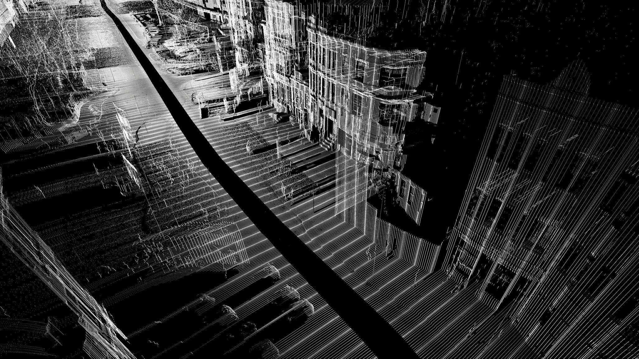
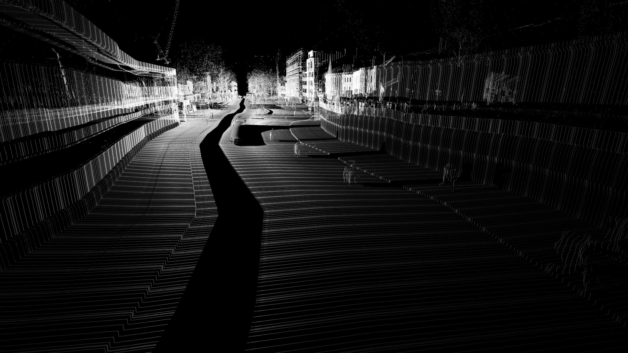
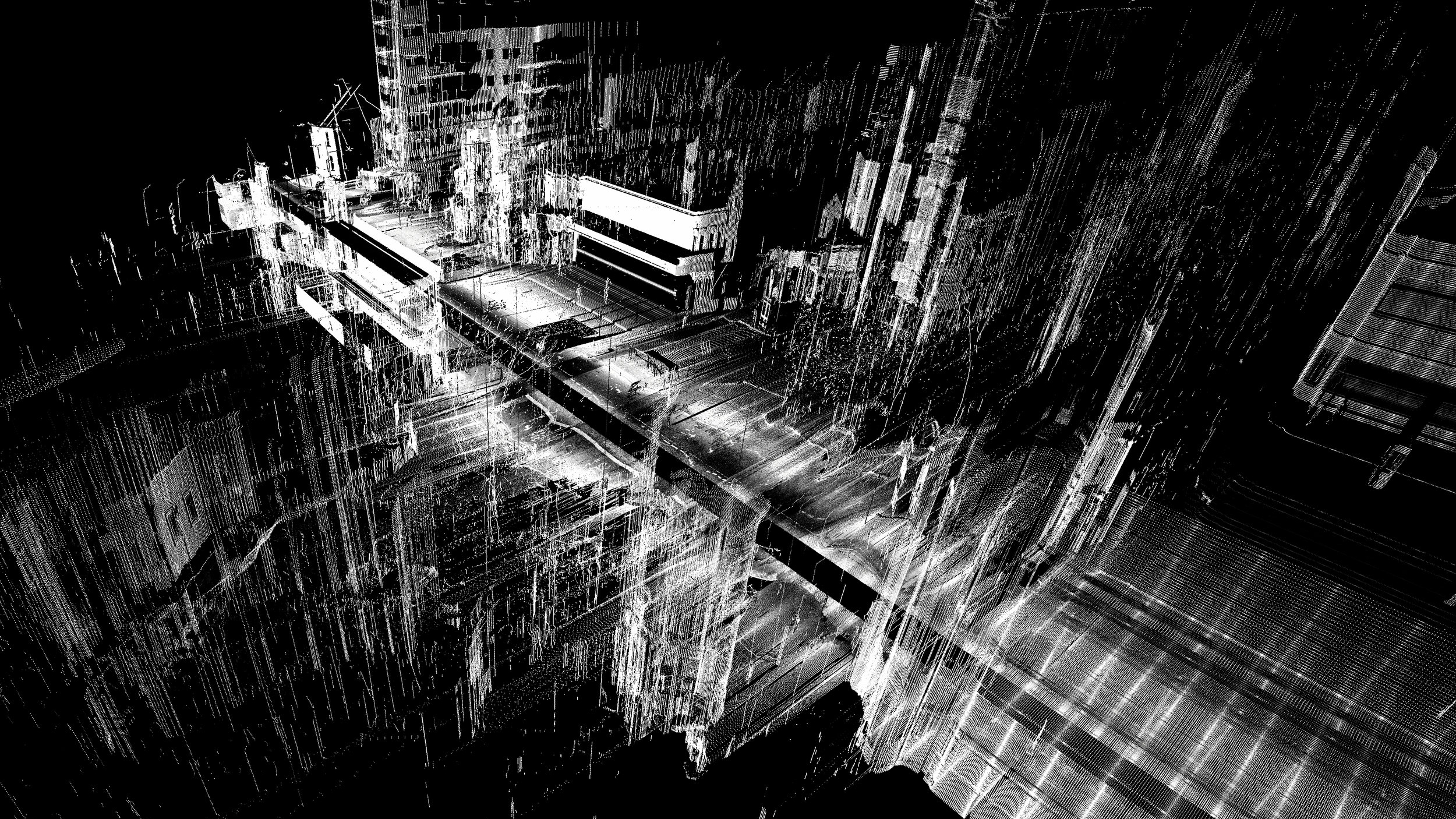
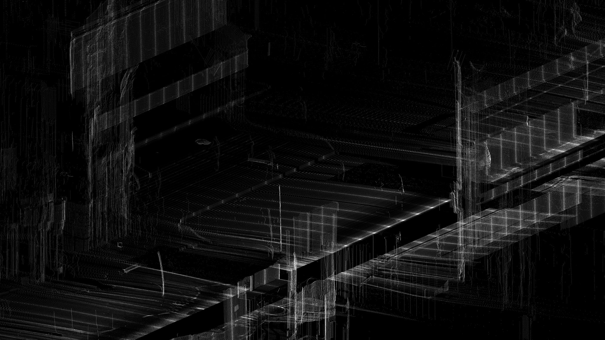
Strip Scanning (2013)
Results of 3D strip scanning experiments undertaken as part of a workshop with ScanLAB Projects in April 2013. A 3D scanner was attached to a car and driven through the streets of London, taking scan data only perpendicular to the direction of travel. The data was then processed and laid along a path curve, forming a 'strip scan' of the urban fabric. Space is represented as product of speed and time, rather than distance.